* WHAT…Northwest winds 30 to 40 mph with gusts up to 60 mph possible.
* WHERE…Portions of central, northern, northwest, southern, southwest, and western Oklahoma and northern Texas.
* WHEN…From Sunday morning through Sunday evening.
* IMPACTS…Damaging winds could blow down trees and power lines. Sporadic power outages are possible. Travel could be difficult, especially for high profile vehicles.
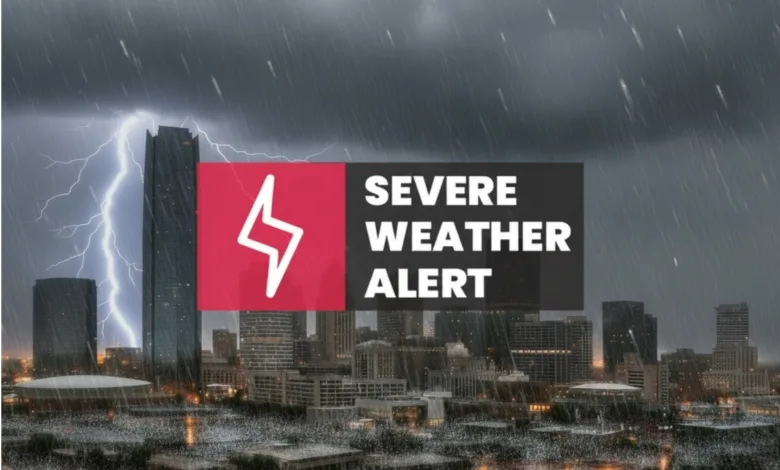
The National Weather Service in Norman has issued a Fire Weather Watch for very strong winds, which is in effect from Sunday afternoon through Sunday evening.
* WINDS…Northwest 30 to 40 mph with gusts up to 60 mph.
* RELATIVE HUMIDITY…As low as 19 percent.
* TEMPERATURES…from the lower 50s to near 70 with falling afternoon temperatures.
* IMPACTS…Any fires that develop will likely spread rapidly. Outdoor burning is not recommended.
* SEVERITY…
FUELS (ERC)…70th-89th percentile…4 (out of 5).
WEATHER…Critical…3 (out of 5).
FIRE ENVIRONMENT…7 (out of 10).
A Moderate High Wind Watch is in effect from 11:00 AM CDT on Sunday until 7:00 PM CDT on Sunday for portions of central, northern, northwest, southern, southwest, and western Oklahoma and northern Texas. Additionally, a Moderate Fire Weather Watch has been issued for the same regions on the same day, indicating potential critical fire weather conditions due to strong winds and low humidity.
As of 5:00 PM local time in Oklahoma City, the temperature is 75.9°F under clear skies with a northwest wind blowing at 7 mph. No precipitation has been recorded.
Today’s temperature reached a high of 75.9°F after starting at a low of 45.1°F. Winds peaked at 16.2 mph. Tonight, the weather is expected to remain clear with a forecasted low of 58.1°F and winds continuing at up to 7.5 mph.
Residents in the affected areas should prepare for possibly damaging northwest winds ranging from 30 to 40 mph, with gusts up to 60 mph. These conditions could blow down trees and power lines, possibly leading to sporadic power outages. Travel could also be difficult, particularly for high-profile vehicles. Individuals in these regions should monitor weather updates and follow any safety instructions issued by local authorities.
Today's Details
7-Day Forecast
| Day | High | Low | Conditions |
|---|---|---|---|
| Friday | 76°F | 45°F | Clear sky |
| Saturday | 83°F | 49°F | Overcast |
| Sunday | 66°F | 33°F | Overcast |
| Monday | 48°F | 28°F | Overcast |
| Tuesday | 65°F | 32°F | Overcast |
| Wednesday | 74°F | 51°F | Overcast |
| Thursday | 84°F | 55°F | Partly cloudy |
Next 24 Hours